Driving months
June to August
Northern summer: Iceland, Norway, Scotland and the Rockies open up; the southern roads turn wintry.
01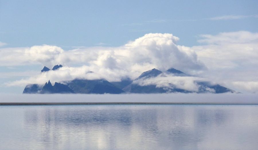
Iceland's Ring Road, one loop around the island
Route 1 circles Iceland in about 1,320 km of mostly paved two-lane road, past waterfalls, glacier lagoons, quiet fjords and steaming lava fields.
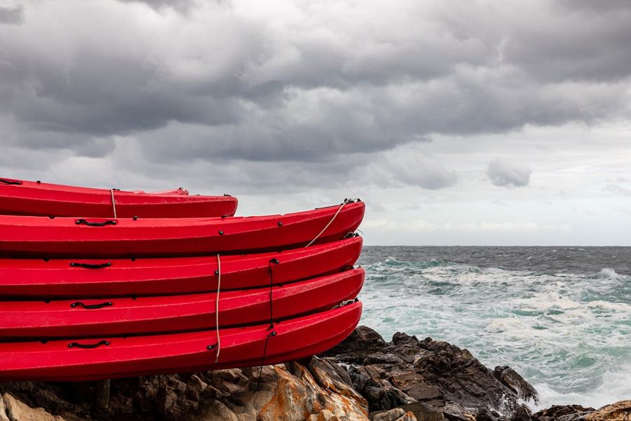
The Garden Route, forest and lagoon along the N2
About 210 km of South Africa's N2 between Mossel Bay and Storms River, past lakes, lagoons, long beaches and the old forests of Tsitsikamma, driving on the left.
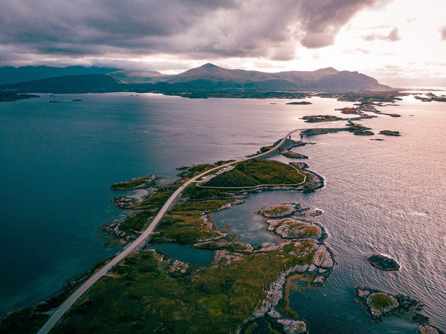
The Atlantic Road, eight kilometres across the sea
Norway's Fv64 hops from islet to islet on a chain of bridges and causeways. It is short, but the weather can make it feel like the biggest road in the country.
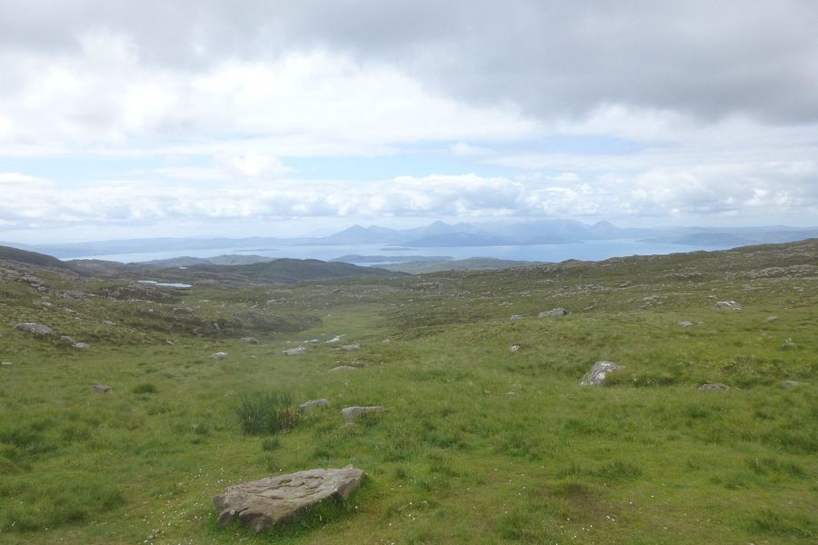
The North Coast 500, Scotland's far north in one loop
About 830 km (516 miles) of coast, moor and mountain from Inverness and back, with long stretches of single-track road where good manners matter as much as good driving.
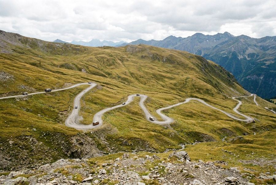
The Transfăgărășan, hairpins over the Carpathians
Romania's DN7C climbs over the Făgăraș Mountains in a stack of hairpins to Bâlea Lake, open only for the warmer months and best driven early in the day.
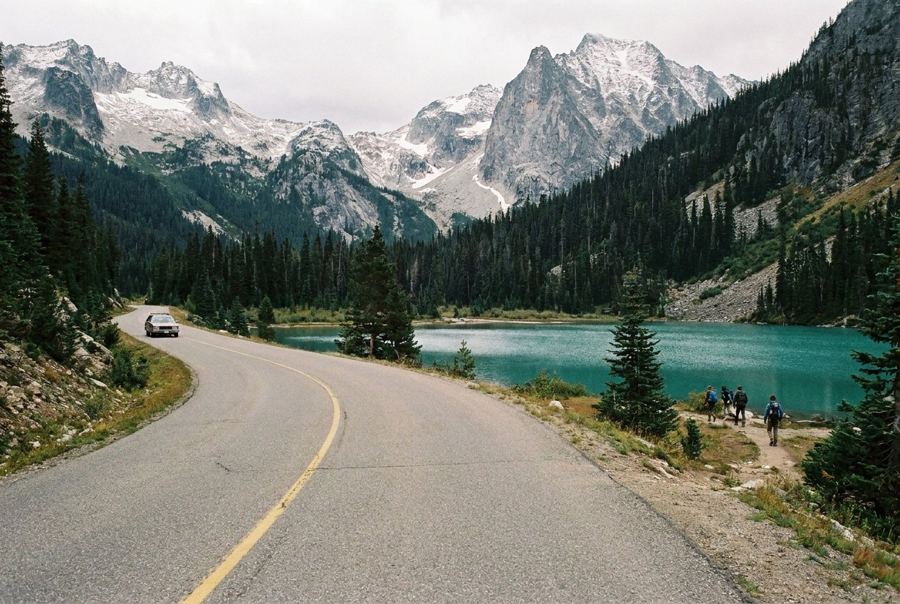
The Icefields Parkway, from Lake Louise to Jasper
About 230 km of glaciers, turquoise lakes and roadside wildlife between two Rocky Mountain towns, with almost no phone signal and very few places to buy fuel.
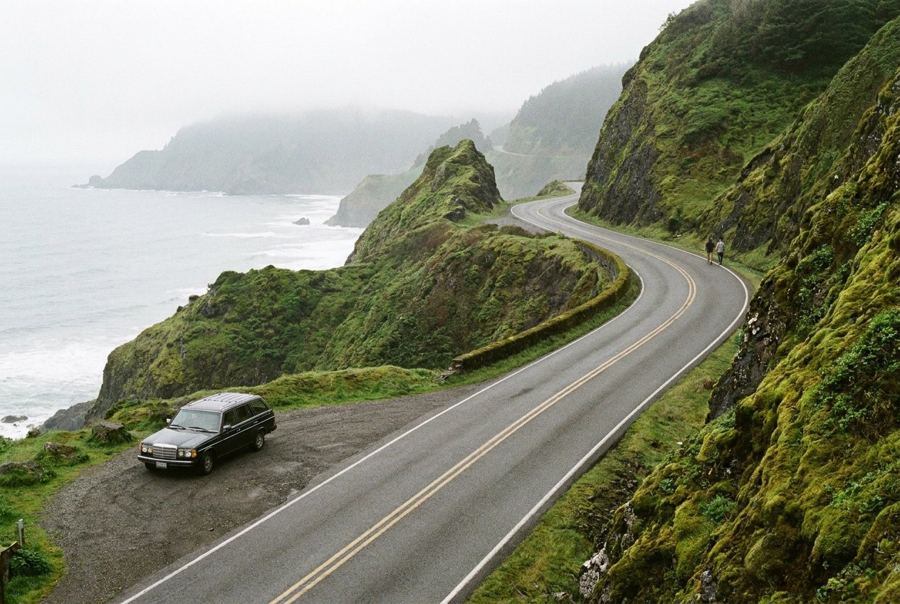
Highway 1 through Big Sur
About 145 km (90 miles) of road cut into the cliffs between Carmel and San Simeon, with slow bends, rare fuel and a habit of closing after storms.