A loop from Inverness
The North Coast 500 is a signed touring loop of about 830 km (516 miles) that starts and finishes in Inverness. It runs west to the Atlantic coast, north through Wester Ross and Assynt, along the top of mainland Scotland past Durness and Tongue, then down the east coast through Caithness and Sutherland and back to the city. It joins together roads that have been there a long time; what is new is the name and the traffic it has brought.
Most drivers go anticlockwise, heading west first, which puts the hardest road and the finest scenery early on. Five days is the minimum; a week lets you walk, wait out rain and take the side roads to the beaches. This is a UK drive, so you keep left, and if that is new to you, read the notes on driving on the left before you collect the car.
Over the Bealach na Bà to Applecross
The Bealach na Bà, the pass of the cattle, climbs from the shore of Loch Kishorn to about 626 m and drops down to Applecross on the other side. It is among the steepest roads in the UK, single-track throughout, with tight hairpins near the top that sit at gradients most drivers have never met. A sign at the bottom warns learner drivers, very large vehicles and caravans away, and they should listen. Bigger motorhomes and anyone nervous about steep ground can reach Applecross by the longer coast road from Shieldaig instead.
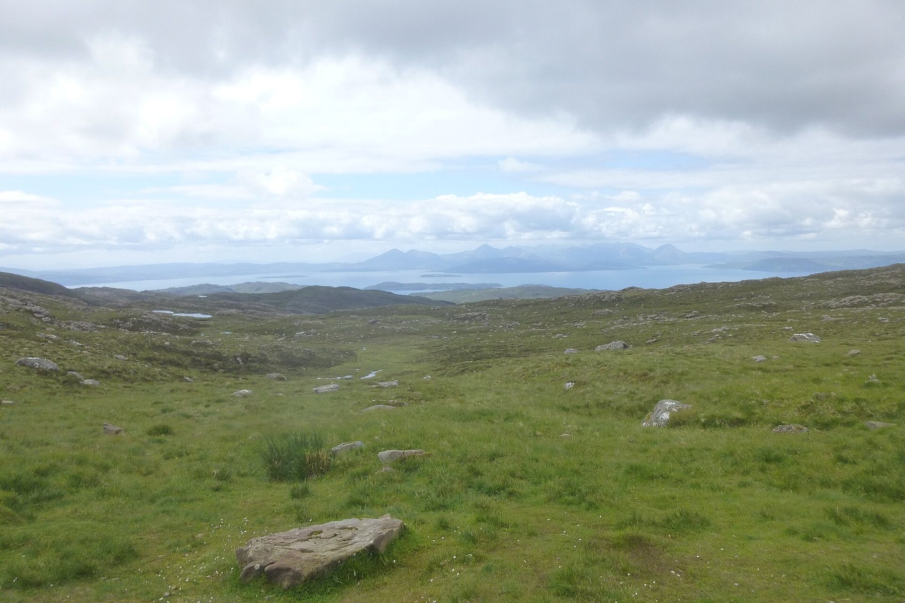
Take it in low gear going down, not on the brakes, and keep your speed well within what you can see. If cloud sits on the summit, as it often does, visibility can drop to a few car lengths. On a clear day the view from the top runs west across the sea to the hills of Skye and Raasay. Applecross itself is a scatter of houses along a bay facing those islands, with the mountains behind cutting it off from almost everywhere. In winter the pass can be closed by snow and ice for days at a time, and even in spring the top can be icy in the early morning, so check the conditions before you commit to it.
Single-track manners
Long sections of the loop, especially in the west and north, are single-track roads: one lane wide, with passing places every so often, usually marked with a diamond or square white sign. The etiquette is short, and it keeps the road moving.
- When you see an oncoming car, pull into the nearest passing place on your left, or stop opposite one on your right so the other driver can pull into it.
- Never park in a passing place, even for a minute or a photograph. They are for passing and nothing else.
- If someone builds up behind you, pull into a passing place and let them by. Locals drive these roads for work.
- Give a small wave when someone waits for you. Everyone does.
Sheep and deer use the road as their own. Blind summits are common, and the road surface can be broken at the edges, so keep your wheels on the tarmac when you pull over.
Detour · stop 01Iceland's Ring Road, one loop around the islandTorridon, Assynt and the empty north-west
North of Applecross the road threads between the old, bare mountains of Torridon and runs out to Gairloch and on to Ullapool, the largest town on the west side and a good place to restock. Beyond it, Assynt is a landscape of isolated peaks standing up out of rough ground full of lochans. Lochinver and the white beaches along the coast road to the north are worth the slower route.
The Kylesku Bridge carries the road across a sea loch on a sweeping curve, and from there it runs north towards Durness, the most north-westerly village on the British mainland. Smoo Cave, a great sea cave, is a short walk from the road just east of the village. Beaches here are pale sand under green cliffs, and on a bright day the sea is a colour you do not expect this far north.
Along the top to John o' Groats
East of Durness the road crosses long sea lochs and open moor to Tongue, then runs on to Thurso through quieter, flatter country. Dunnet Head is the most northerly point of mainland Britain, with a lighthouse and seabird cliffs. John o' Groats, a few kilometres beyond, is famous as one end of the long road from Land's End rather than for anything there; the sea stacks at Duncansby Head nearby are the better stop. From there the road turns south down the east coast through Wick, Helmsdale and Dornoch, faster and wider, back to Inverness.
Campervans, midges and when to go
Campervans and motorhomes are a big part of NC500 traffic. If you hire one, use proper sites or places where overnight parking is clearly allowed; Scotland's access rights cover people on foot, not vehicles, and verges and passing places are not campsites. Empty waste only at proper disposal points. Water and diesel are easy in towns and scarce between them, so fill up often.
Midges, tiny biting flies, are at their worst on still, damp days from June to August, especially in the west. A breeze keeps them down; repellent and a head net help. May and September are often the best months, with fewer midges, quieter roads and long days, though the weather in any month can turn from sun to sideways rain within the hour. The notes on the shoulder months say more. If you like a coast road with weather this changeable, the Atlantic Road in Norway is a short, wild cousin.
The photographs on this stop are credited, with their licences, on who took the road photos.