Ruta 40: Argentina's road along the Andes
About 5,000 km from the far south to the Bolivian border. Nobody drives it all at once: pick a section, respect the wind and the gaps between pumps, and give it time.
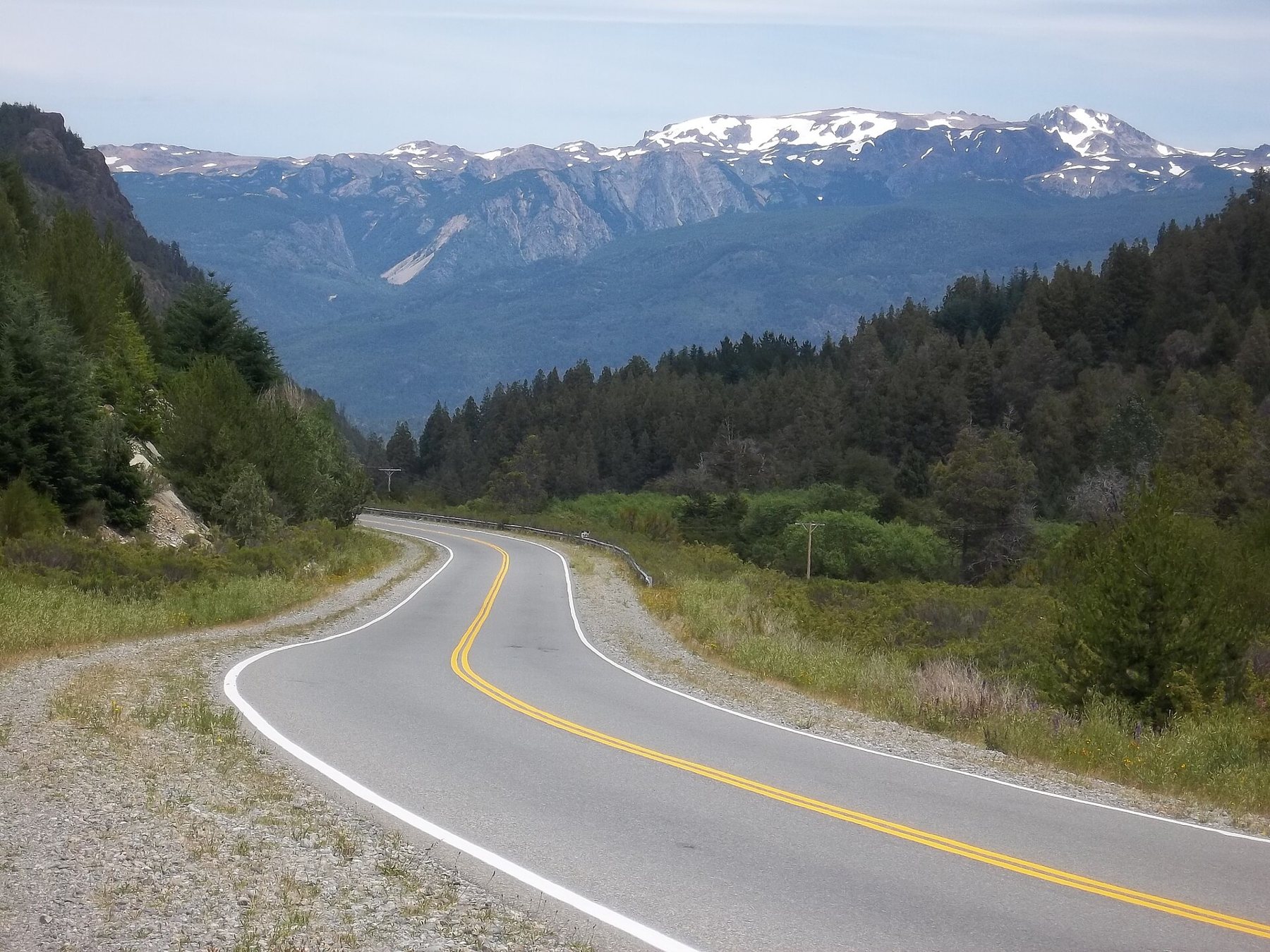
Ruta Nacional 40 runs down the western edge of Argentina, keeping the Andes on one side almost the whole way. It starts near Cabo Vírgenes, on the Atlantic shore at the mouth of the Strait of Magellan, and ends at La Quiaca on the Bolivian border, about 5,000 km later (some counts make it longer, because the road has been rerouted over the years). On the way it climbs from sea level to about 4,900 m at Abra del Acay, one of the highest points reached by any national road in the Americas.
That length is the first thing to plan around. Driving the whole road in one go takes weeks, and much of that time is spent crossing empty country between the places you came for. Most people choose one of three broad sections and drive it well: Patagonia in the south, Cuyo and its vineyards in the middle, and the northwest around Cafayate and Cachi.
Patagonia: wind, guanacos and the long empty middle
The southern stretch is the one most people picture. From El Calafate, the base for the Perito Moreno Glacier, the road runs north across open steppe. The turn-off for El Chaltén and the Fitz Roy massif comes early, and many drivers make that side trip before committing to the long haul north. After that the land opens out: tawny grass, low scrub, flat-topped mesetas, guanacos lifting their heads at the car and rheas running beside the fence lines.
Further north lies the town of Perito Moreno (not to be confused with the glacier), and beyond it the lake district around Bariloche, where the road turns green again. Between Villa La Angostura and San Martín de los Andes, the Ruta 40 follows the Seven Lakes route past forested shores and clear water, and the driving slows to a pleasure rather than a task.
The wind is the thing that surprises first-timers. It blows hard from the west across the steppe, often for days, and a gust can push a light hire car across half a lane. Keep both hands on the wheel, slow down on exposed stretches, and open doors carefully: a gust can catch one and bend the hinges. Over the last couple of decades much of the Patagonian section has been paved, but gravel stretches remain and change from year to year as work goes on. Check the current state of the section you plan before you go, and read our notes on driving gravel in a hire car before you sign anything at the desk.
Distances here are the other test. Towns sit a long way apart, and fuel stops can be several hours from each other. The rule that works is simple: fill up whenever you pass a pump and the tank is half empty or less. There is more on this in our guide to planning fuel over long distances.
Cuyo: vineyards in the rain shadow
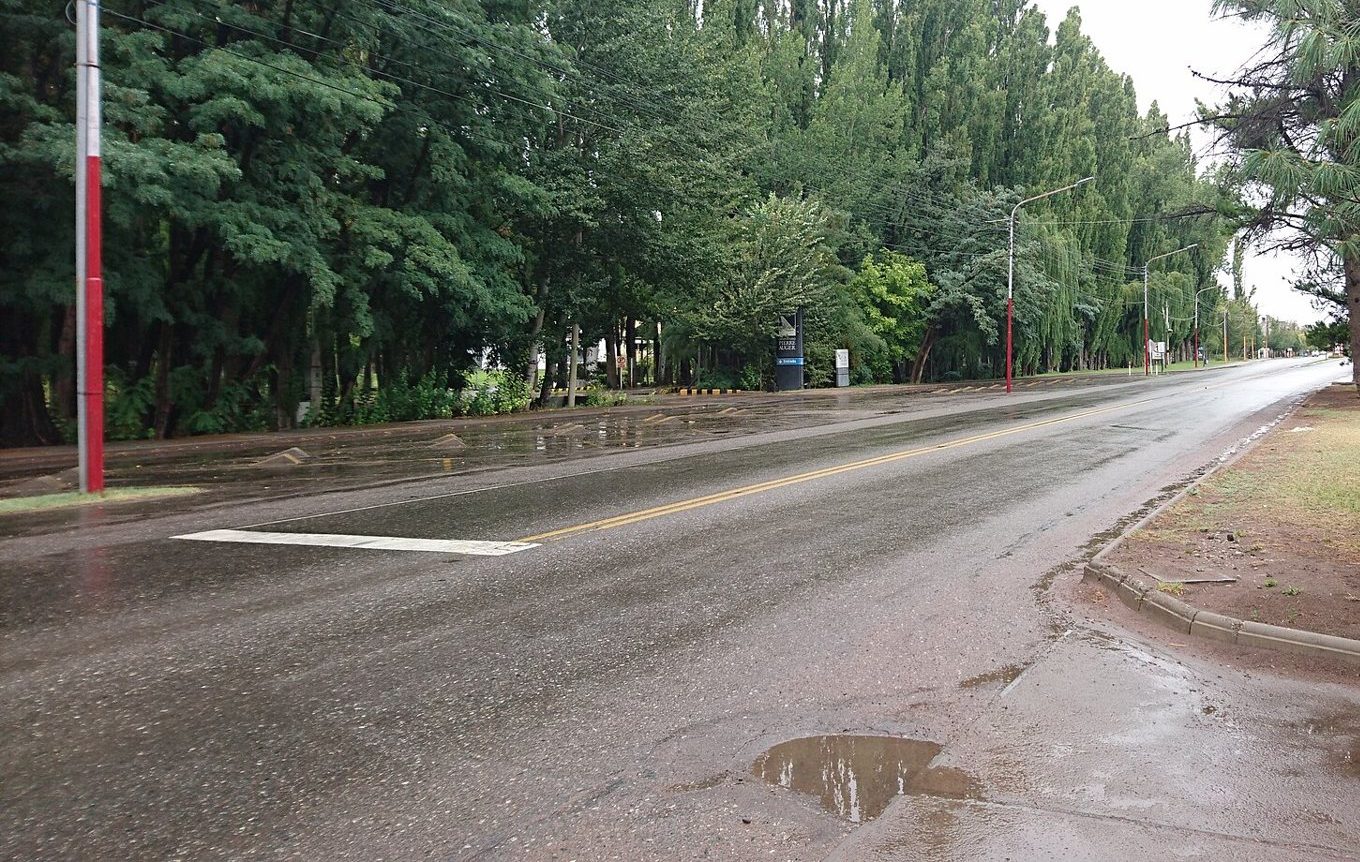
In the middle of the country the road passes through Mendoza and San Juan provinces, a dry region where the Andes block the rain and snowmelt feeds the irrigation channels. This is wine country. Around Mendoza the Ruta 40 skirts vineyards planted in long rows against a backdrop of high, snow-streaked peaks, and the Uco Valley to the south sits higher still, with cooler nights. Poplar windbreaks line the fields and the small towns, a sign that every patch of green here was planted and watered by hand.
Further south in Mendoza province, around Malargüe, the country turns volcanic and empty again, with lava fields and long straights. This middle section is the least travelled by overseas visitors, which is part of its appeal. It also links the two better-known ends, so if you want a longer trip, Cuyo is where you join them up.
Many visitors combine a few days here with a crossing to Chile, or carry on north toward the red country. If you are tempted by the Chilean side, the Carretera Austral is the other great southern road, with ferries and gravel of its own.
Detour · stop 04The Carretera Austral, Chile's long road southThe northwest: red rock and high passes
The northern end of the Ruta 40 is a different road again. Around Cafayate, in Salta province, the valleys are lined with vineyards at high altitude and walled by red and ochre rock. North of Cafayate the road turns to gravel for long stretches and runs through the Quebrada de las Flechas, where tilted slabs of grey rock stand up like rows of arrowheads on both sides of the car. The road is narrow and winding here, and the drive to Cachi, a small whitewashed town below snowy peaks, takes most of a day even though the distance is modest.
North of Cachi the road climbs toward Abra del Acay, at about 4,900 m. This stretch is gravel, steep and remote, and it may be closed or rough after summer rains or winter snow. At that height the air is thin: you can feel short of breath, get headaches or sleep badly, and the car loses power too. Spend a night or two at Cachi or Cafayate first, drink plenty of water, and ask locally about the road before you set out. If it is in poor shape, there are other ways north.
The summer months in the northwest bring afternoon storms, and flash floods can cut roads where they cross dry riverbeds. Late autumn and spring are usually easier.
Picking your section and pacing it
Here is a rough way to decide.
- Patagonia suits you if you want space, glaciers and mountains, and you are happy with long days and wind. Allow a week or more from El Calafate to Bariloche, and longer if you take the side roads.
- Cuyo suits a slower trip built around wine, mountain views and easy towns, with the option of a mountain crossing to Chile.
- The northwest suits you if you like colour, adobe villages and a challenging road. A loop from Salta through Cachi and Cafayate takes four or five days at an easy pace.
Whichever you choose, the rule is the same. Plan shorter days than the map suggests. Speeds on gravel are slow, roadworks hold you up, and wildlife on the road means you should not drive at night if you can avoid it. Book your first and last nights, and leave a spare day in the middle for weather or a flat tyre.
Plan shorter days than the map suggests.
A typical day might be 300 to 400 km in the south, where the road is straight, and far less in the northwest, where it is not.
What the car needs
A normal two-wheel-drive car handles most of the paved road and much of the gravel in dry weather, but ground clearance helps on the rougher stretches, especially in the north. Before you leave, check the spare tyre is full size and properly inflated, and that the jack and wheel brace are in the boot. Carry water, food, warm layers and a torch: a breakdown between towns can mean a long wait.
Cash matters. Cards work in towns, but small fuel stops and rural places may take cash only, and cash machines can run dry in high season. Phone signal disappears for long stretches, so download offline maps and tell someone your plan for the day.
Hire terms vary a lot in Argentina. Some contracts limit where you may take the car, charge extra for gravel damage, or require paperwork to cross into Chile. Read the contract before you drive off.
When the road is at its best
The seasons differ by section. Patagonia is best from about November to April, when the days are long and the roads are open, though January and February are the busiest months. The northwest is pleasant in autumn and spring, outside the summer rains. Mendoza is good for much of the year, with harvest in early autumn. Our guide to the shoulder months on every road has more on timing. Conditions, closures and paving works change, so check before you go.
The photographs on this stop are credited, with their licences, on who took the road photos.